|
|
| |
|
-
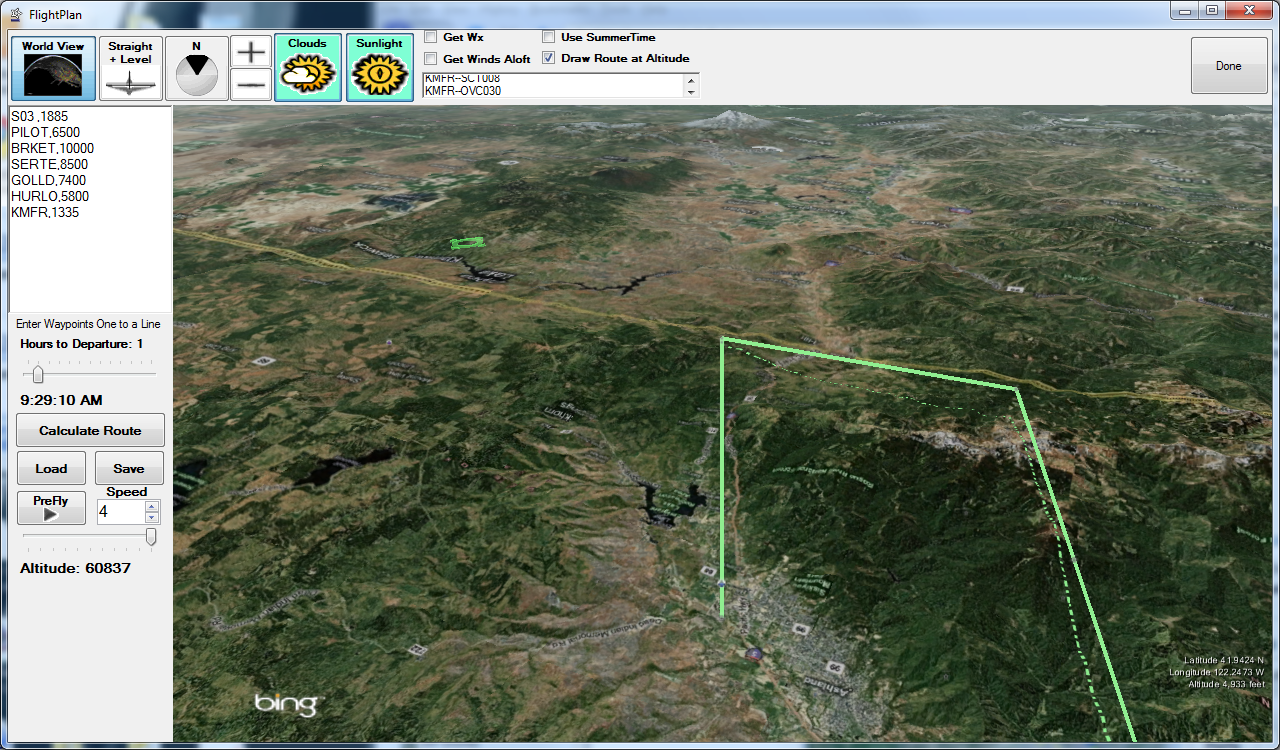
Enter waypoints by:
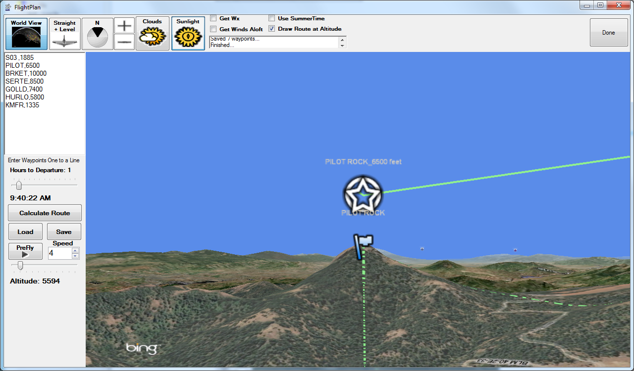
- Right-clicking on the terrain feature
- Giving it a name
-
Airports offer a choice of runway thresholds and approaches
-
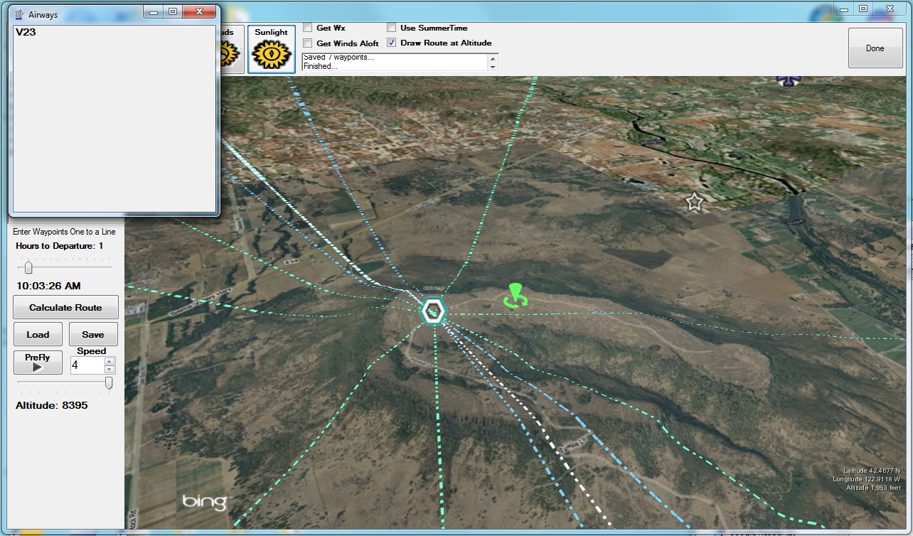
Airways offer waypoint sequences
-
Fetches the latest FAA and global aviation data
-
Fetches the latest Weather and Winds
-
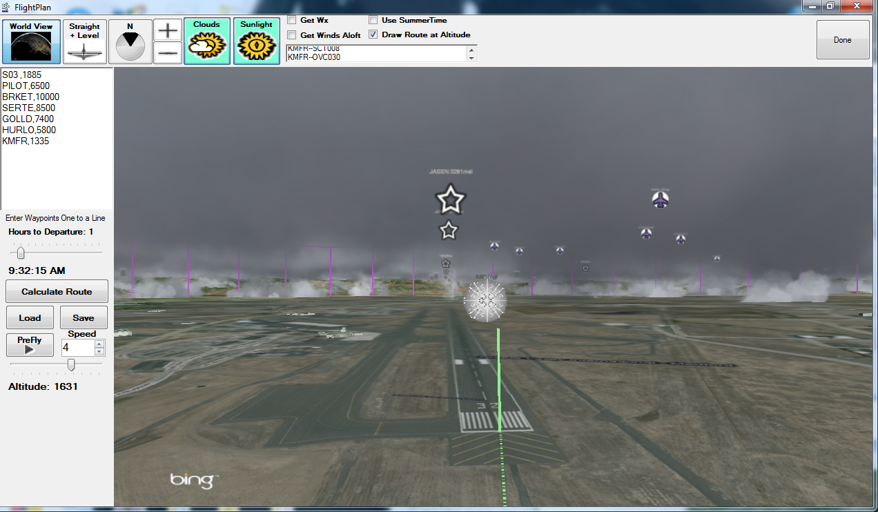
Draws forecast cloud layers in 3D.
-
Lets you What-If the cloud cover by shifting departure time
- See the coverage change along forecast route
-
Garmin Support:
- Load routes from Garmin GPS
- Save Flight Plans directly to Garmin GPS
|
|
PreFly
- Follows your Flight Plan Route
- Lights the terrain for flight planned date and time
- Saves the satellite imagery and terrain data to disk
- Allows you to Fly without being connected to the internet
|

|
Data
- Gets FAA data, automatically, every 28 days for the US, including Alaska
- Airspace, Airports, Runways, Navaids, Waypoints, Airways, Obstacles
- Obstacles
- Instrument Approaches and Transitions
- TFRs and NOTAMs
- Global Data: Airports, Waypoints and Navaids, updated every 6 months
- Canada (includes 3D airspace)
- Caribbean (3D Airspace for Puerto Rico)
- Weather
- Cloud layers for forecast route
- TAFs
- Metars
- SFC forecast
- Winds Aloft
|
|
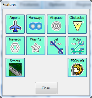
Features
|
|
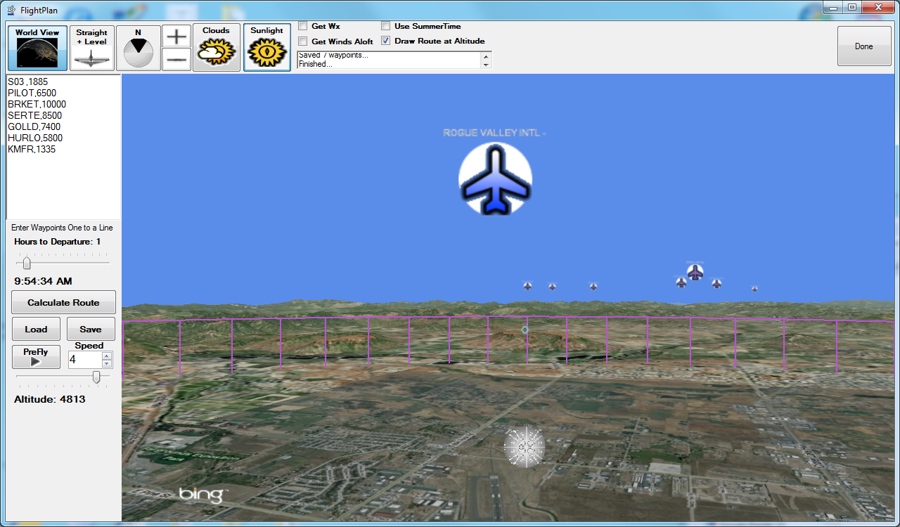
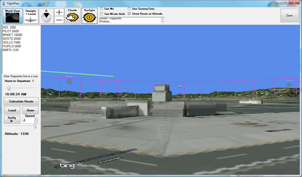
Airports
- Controlled, Public, Private, Military
|
|
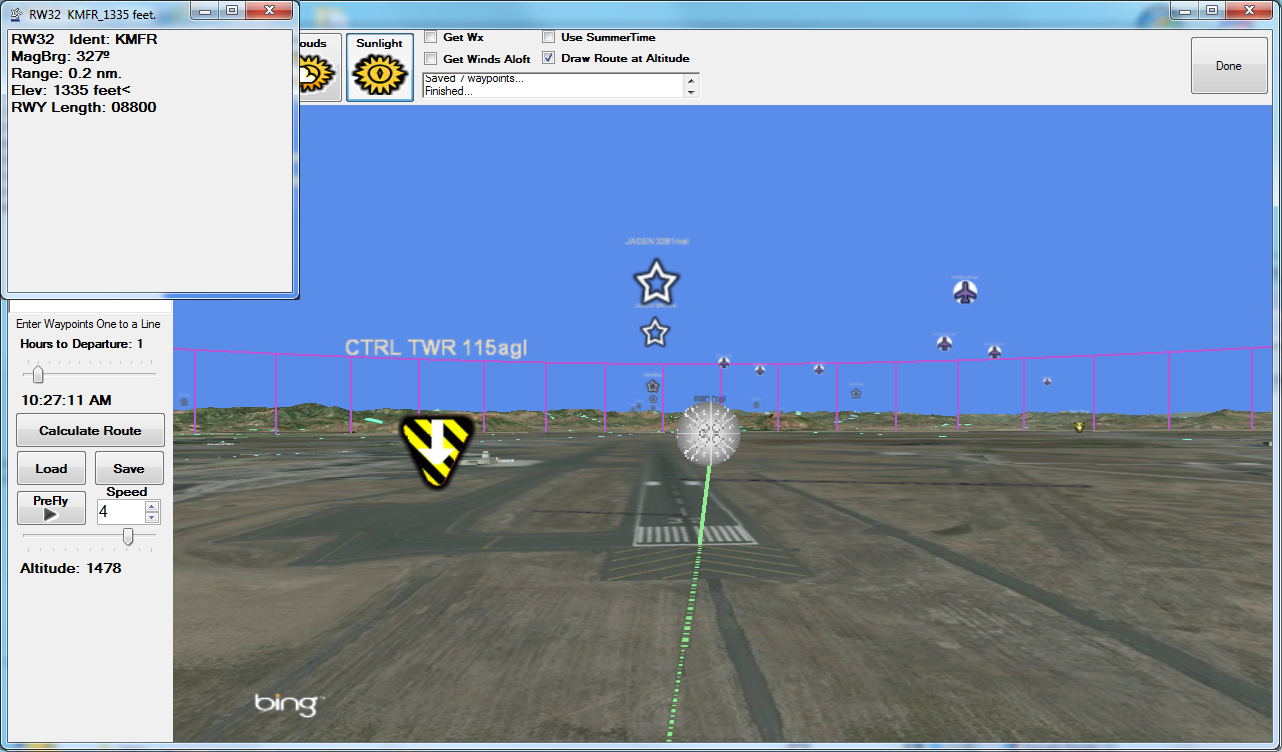
Runway Threshholds
- Flight Plan to the actual threshold
|
|
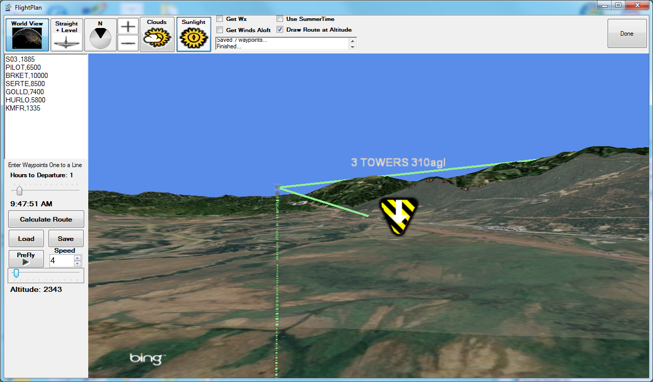
Obstacles
- Drawn to scale from FAA database, updated every 56 days.
|
|
|

|
Airspace
- Controlled airspace drawn to scale in 3D
- Class, Base and Ceiling altitudes labeled
- USA and Canada
|
|
Way Points
- Instrument and visual waypoints and intersections from FAA data updated every 28 days
|
|
Victor and Jet Airways
- High- and Low-level Routes for USA and Canada
- Touch to identify
|
|
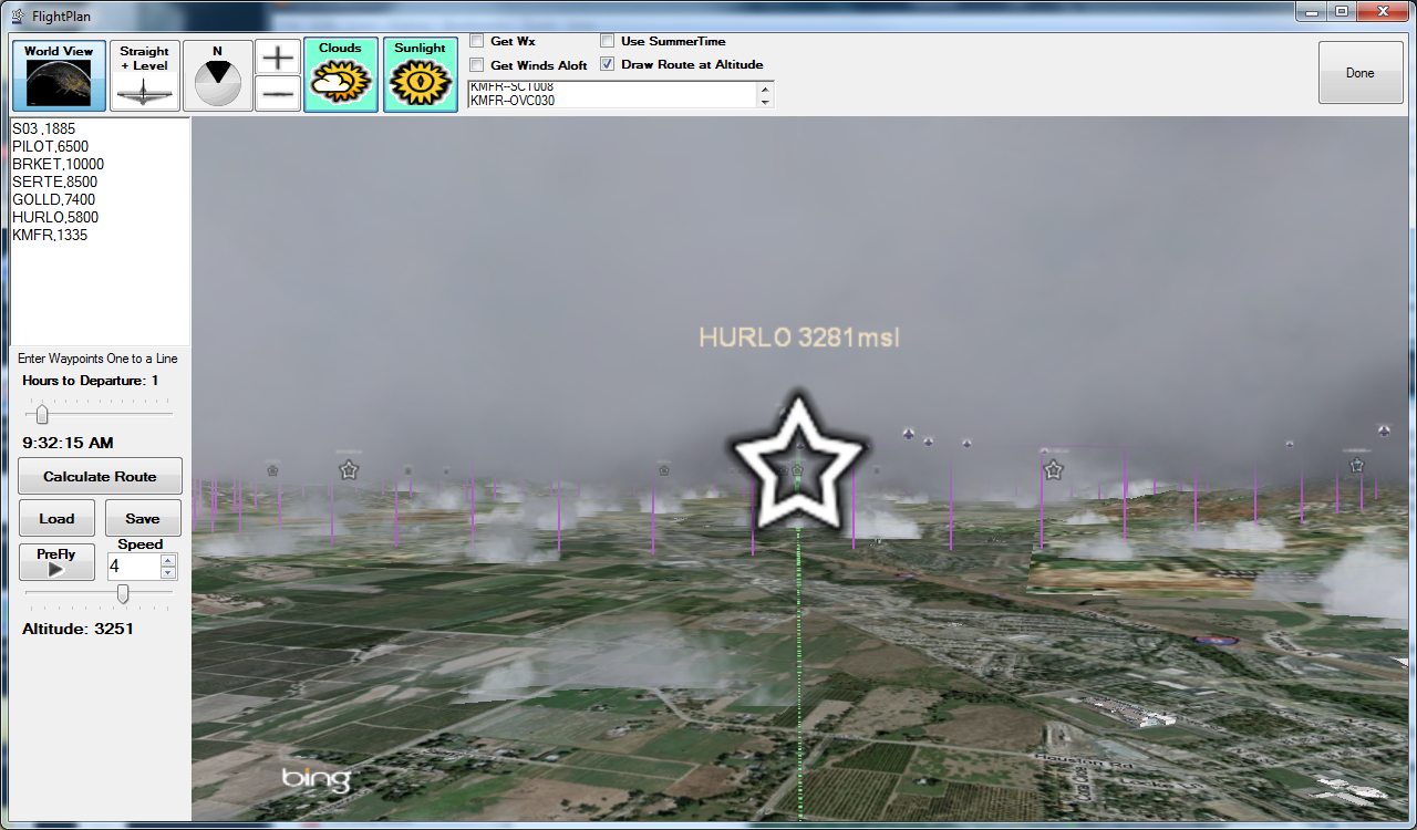
Clouds
- Layers, coverage and extent extracted from TAF’s and surface forecasts for route of flight based upon ETD and arrival time at each waypoint
- Alter proposed time of departure and watch cloud layers change
- USA only
|
PRODUCTS MAIN |
|


